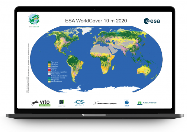
Worldwide land cover mapping
WorldCover provides the first global land cover products for 2020 and 2021 at 10 m resolution, developed and validated in near-real time based on Sentinel-1 and Sentinel-2 data.
A tremendous step forward towards the joint use of Sentinel satellite data for worldwide land cover mapping.
A new baseline global land cover product at 10 m resolution based on Sentinel-1 and 2 data
WorldCover consortium
The WorldCover product is developed by a consortium consisting of a group of highly experienced major European service providers and research organizations, covering all relevant aspects of land cover mapping. The consortium has a long track record of collaboration in diverse European and ESA projects, as well as the Copernicus Land and Climate Change Service.


