WorldCover webinar
Tuesday September 1, 2020, the WorldCover consortium organized an open and free webinar to present WorldCover's first achievements and results. Did you miss this webinar or do you want to view it one more time? Access the webinar recording now here below.
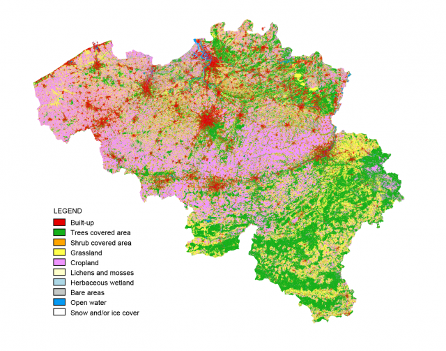
During this webinar, the team presented the WorldCover project, showed the first prototype maps and explained more about the methods for training data collection and validation. The consortium also interacted with the participants to discuss the proposed technical specifications of the product, answer specific questions and share feedback.
Webinar agenda:
- An introduction to the WorldCover project
- First views on the 10 m land cover product (prototype maps)
- Overview of the used methods for training and validation
- Interactive discussion on the technical specifications and user requirements of the WorldCover product

