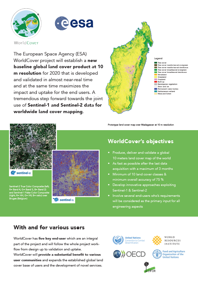
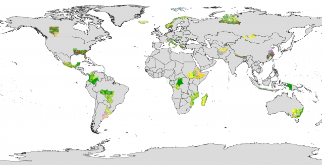
Prototype maps covering 10% of the world
VITO (Belgium), Brockmann Consult (Germany), CS SI (France), Gamma Remote Sensing AG (Switzerland), International Institute for Applied Systems Analysis (Austria) and Wageningen University (The Netherlands) successfully finished phase 1 of the ESA WorldCover project and managed to produce a prototype land cover map over 27 macro-regions covering 10% the world.
Next, further algorithm and production system development is planned before producing the global map, to be released in Q2 2021!
Do you want to know more? Please have a look to our recorded webinar organized on September 1st or read more in the new project leaflet, available for you to download here below.


